Data you can use immediately
We deliver finished products — orthophotos, DTMs, point clouds, 3D models — formatted for your software and ready to act on. Not raw files that require specialist processing.
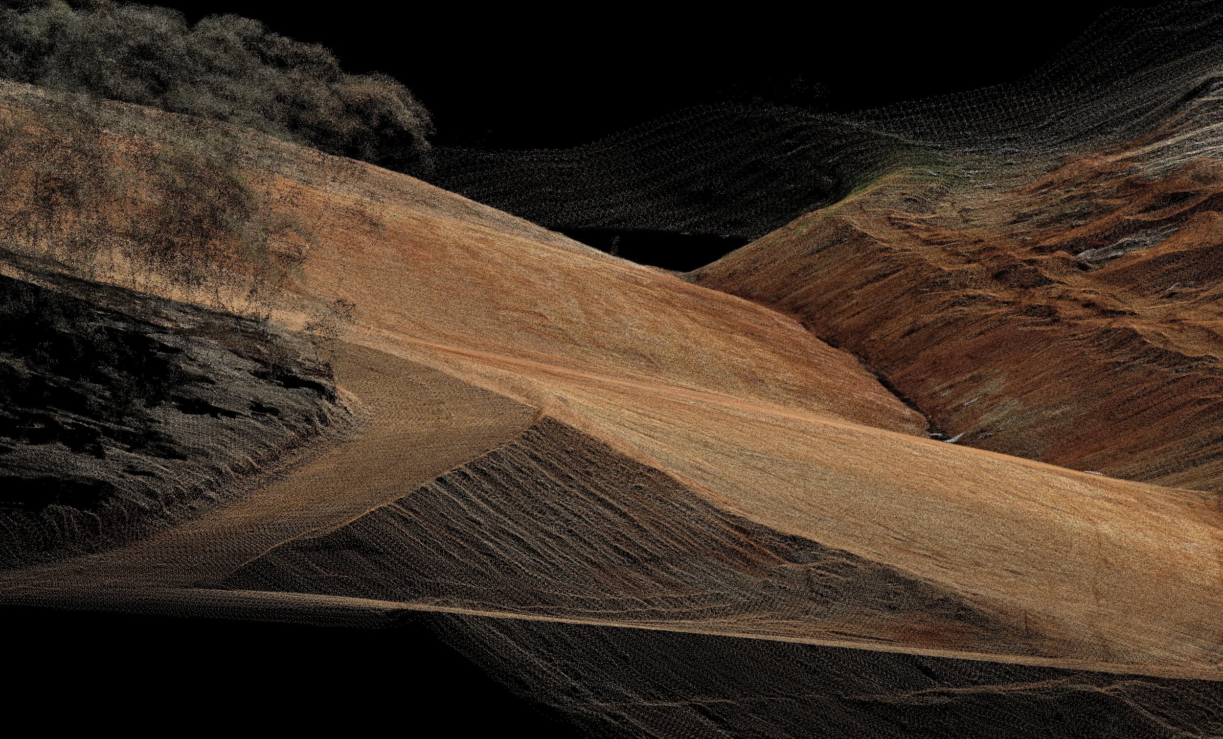
Survey-grade accuracy
Eight years of surveying experience behind every mission. Ground-truthed, georeferenced outputs you can measure, trace, and rely on for compliance and reporting.
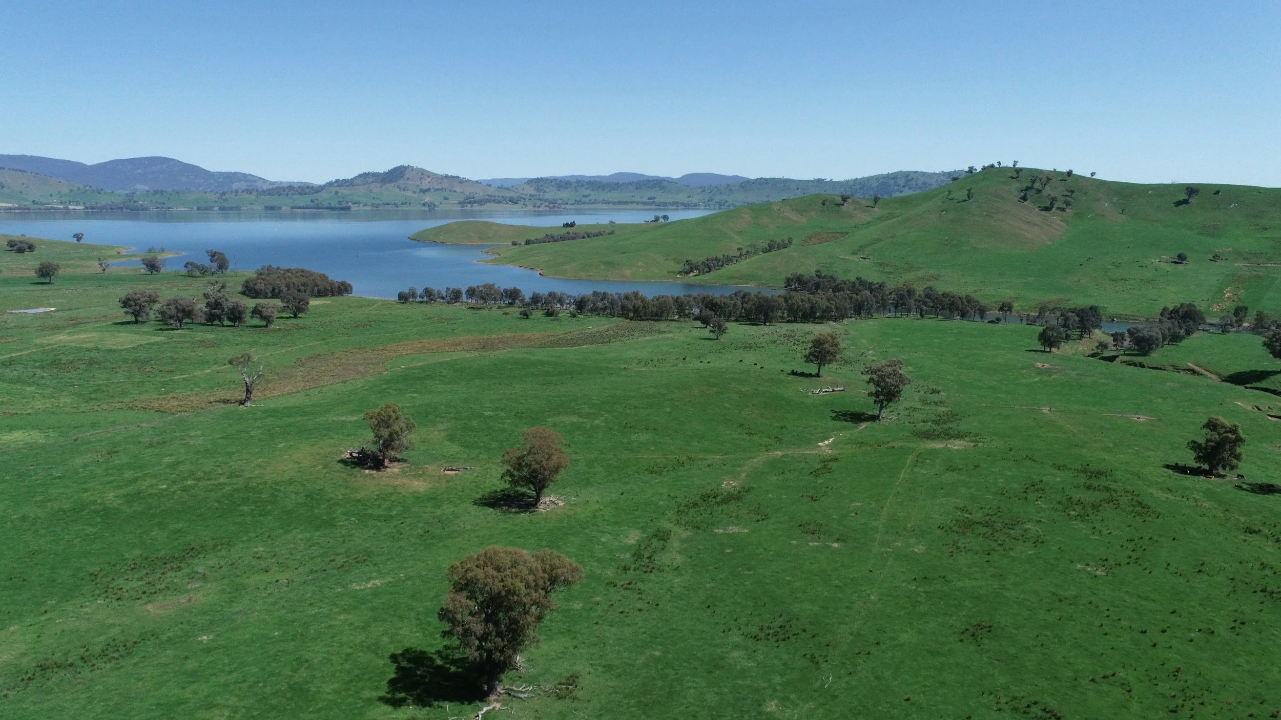
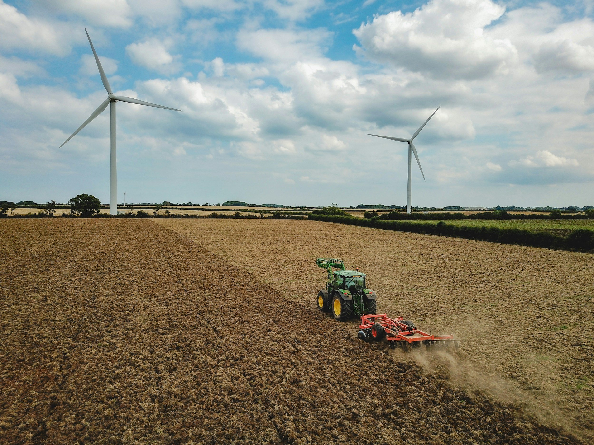
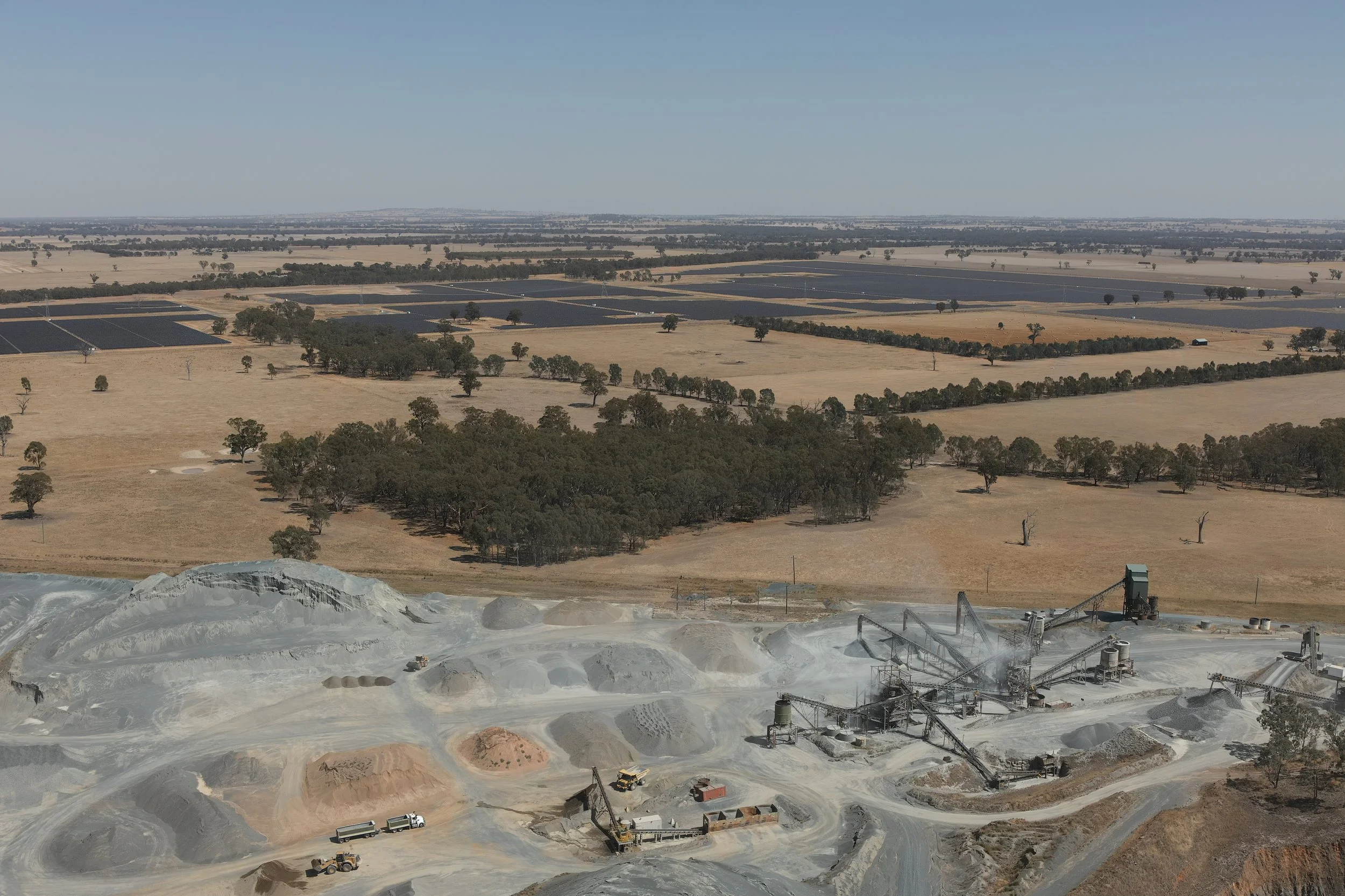
Fast, flexible mobilisation
Based in Albury-Wodonga, covering NSW, ACT, and Victoria. CASA certified, fully insured, and ready to deploy at short notice.