
Survey, Architecture & Civil Engineering
Aerial and terrestrial survey data your whole team can rely on — delivered fast.
LiDAR, photogrammetry, and 3D laser scanning services for surveyors, architects, civil engineers, and project managers across NSW, ACT and VIC.
We capture and process your aerial data from start to finish — delivering georeferenced point clouds, DTMs, orthophotos, and CAD-ready linework in the coordinate system and format your workflow requires. You won’t get millions of triangles from us, and there’s no special software to learn. Just the data you need, delivered by a business that knows what’s required, from years of experience in the industry.
What we deliver
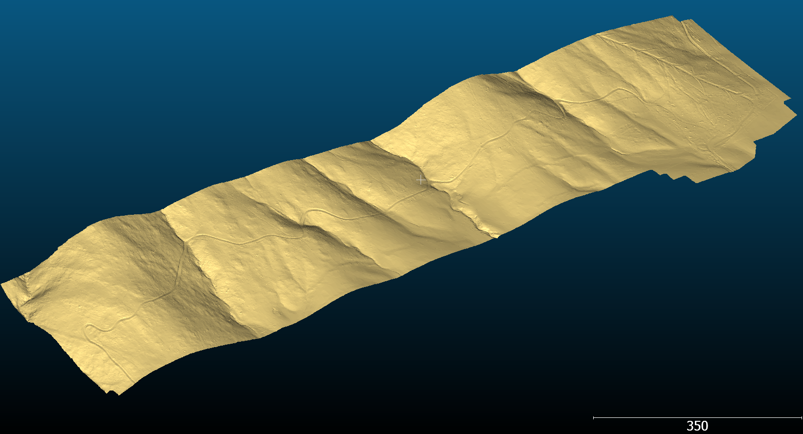
Precision LiDAR Point Clouds and DTMs
Our USA-built LiDAR sensor captures dense, accurate point clouds across large areas in a fraction of the time required for ground-based methods. Suitable for topographic survey, utility mapping, forestry, and corridor projects where ground penetration through vegetation is required. Our versatile sensor can also be deployed on the back of a vehicle for rapid mobile mapping capture of road reserves and large-scale, GIS-ready data (e.g. Ridge heights and setbacks of 1000’s of houses in a day, vegetation encroachment on conductor wires, sign locations and types, road line marking, etc).
Photogrammetry & orthophotos
High-resolution aerial orthophotos and photogrammetric surfaces from 1.5cm/pixel GSD. Clients can confidently identify, trace and compare visible features to an accuracy comparable to GNSS rover measurement. We have completed projects from single-site surveys up to 23km road and riparian corridor captures.
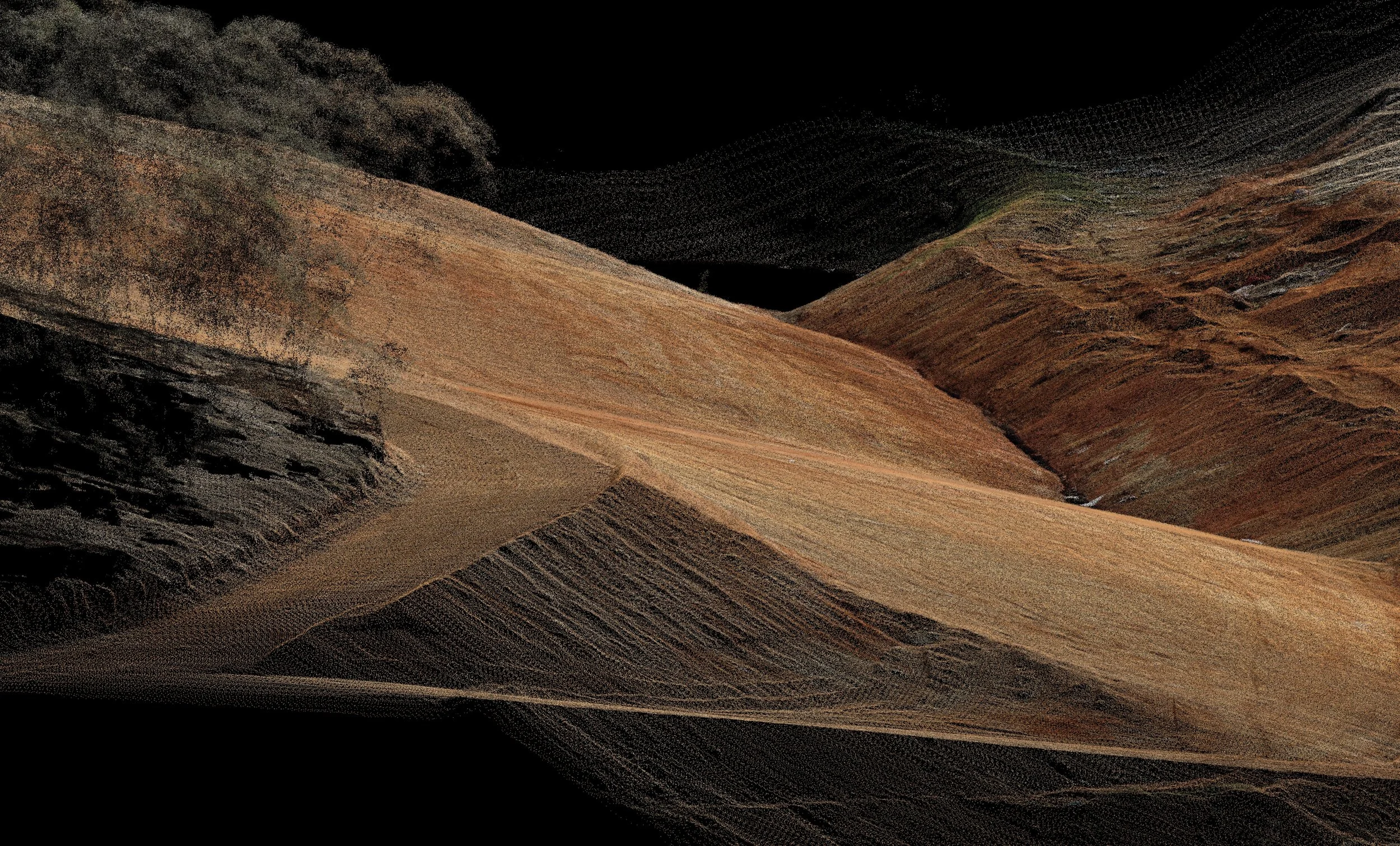
3D laser scanning
Terrestrial laser scanning for as-built surveys, building services modelling, clash detection, and dimensional verification. Capture entire buildings or structures quickly, producing Revit-ready point clouds suitable for LOD200 BIM modelling, floor plans, elevations, and commercial real estate due diligence.
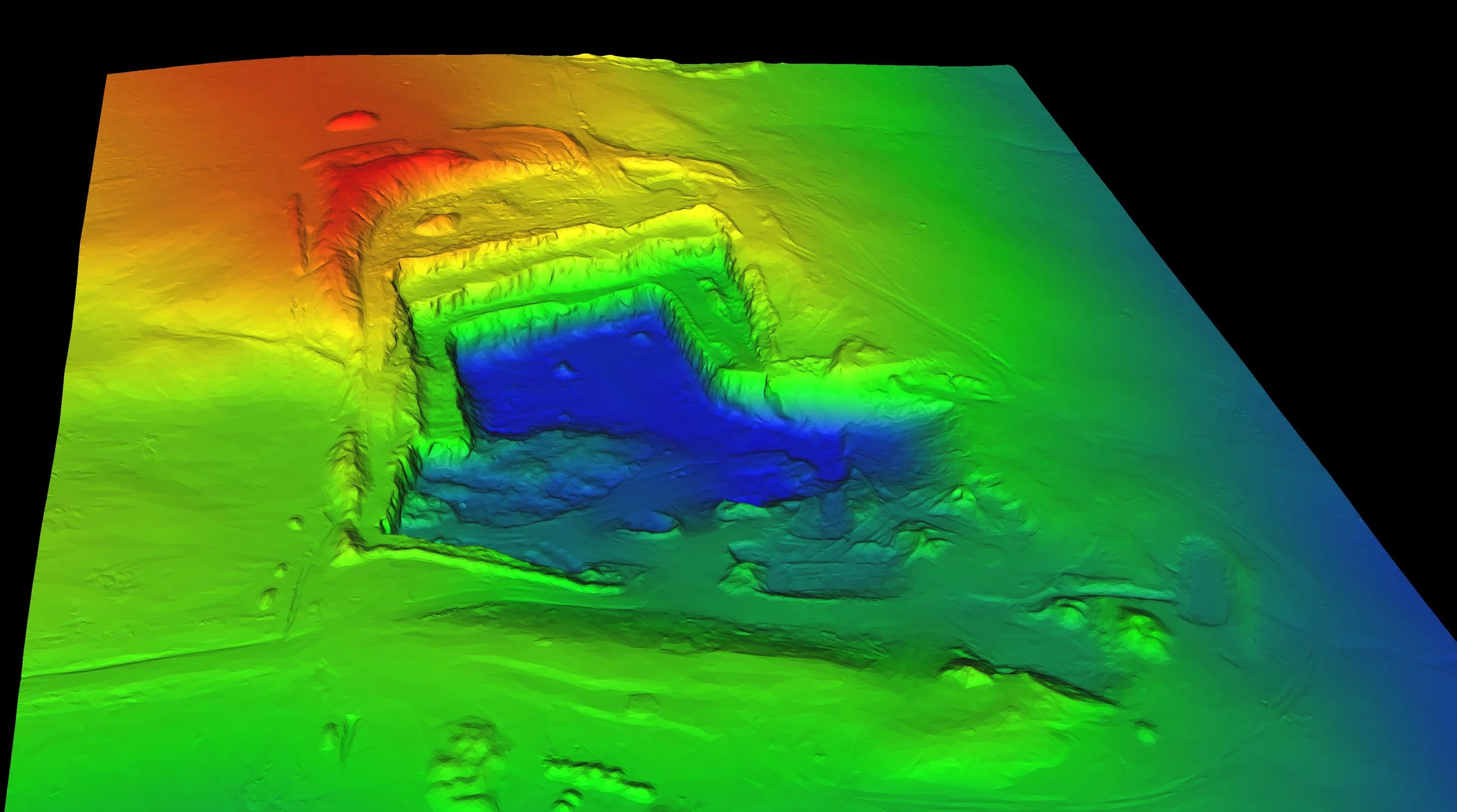
Stockpile volumes & Progress monitoring
Rapid, accurate stockpile volume calculations from drone-captured surfaces — suitable for monthly reporting at quarries, mines, and construction sites. Up to 10× faster than ground-based methods with comparable accuracy, improved safety and the added bonus of a complete record of site at a particular point in time.

Deliverable formats
Orthophotos (GeoTIFF, ECW)
DEMs, DTMs, DSMs
LiDAR point clouds (LAS, e57, RCP/RCS)
Verified contours and 3D mesh
2D CAD linework (DXF, DWG)
Photorealistic 3D models
Compatible with 12d Model, Civil 3D, ArcGIS, QGIS, Revit
Who we work with
Registered surveyors and survey firms
Civil and structural engineering consultancies
Architects
Landscape Architects
Local government engineering teams
Road and infrastructure contractors
Mining and resources operators
Building Services Designers
Construction project managers