
Environmental & Land Management
Know exactly what's on your land — and how it's changing.
High-resolution aerial mapping for environmental managers, land managers, ecologists, and government agencies across NSW and VIC.
Managing land at scale means making decisions with incomplete information — patchy ground surveys, outdated satellite imagery, and monitoring programs that can't keep up with what's actually happening on the ground.
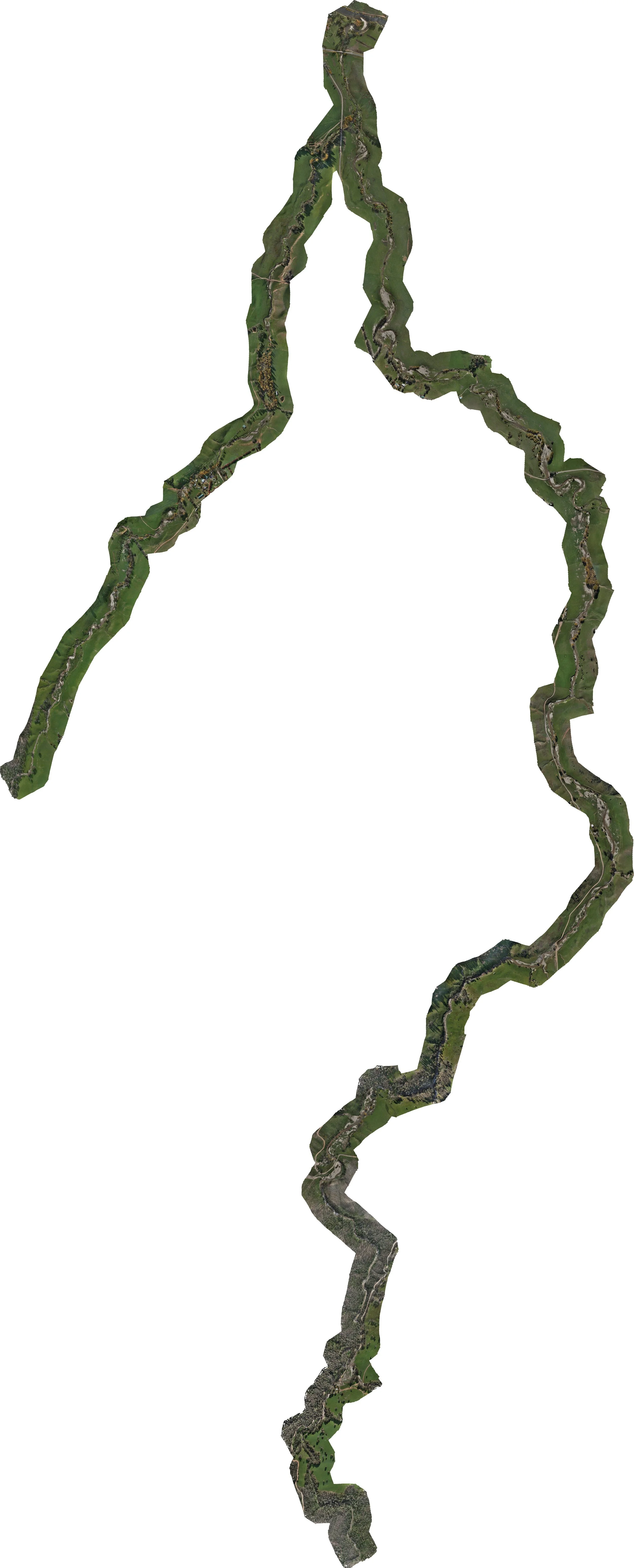
Drone-captured orthophotos and LiDAR give you a complete, accurate picture of your land at a specific point in time. Run the same capture annually and you have a scientifically credible, spatially comparable record of change over time — suitable for compliance reporting, grant acquittal, and adaptive management.
What we deliver
High-resolution orthophotos
Orthorectified aerial photography at 2–5cm resolution — accurate enough to identify individual plant species, trace drainage lines, and measure vegetation extent. Delivered georeferenced and ready for QGIS, ArcGIS, and other GIS platforms.
LiDAR point clouds & terrain models
Detailed DTMs and DSMs showing true ground surface, canopy height, and vegetation structure — even in areas with dense cover. LiDAR penetrates through vegetation to the ground where photogrammetry cannot.
Vegetation & feature mapping
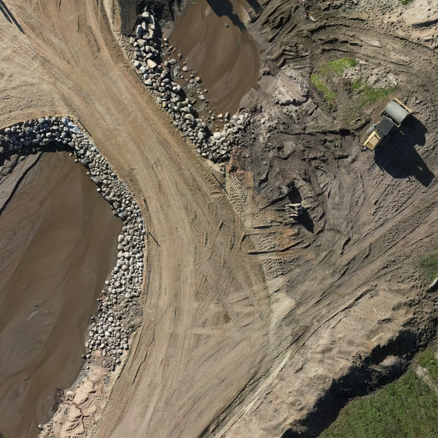
We can map watercourses, riparian vegetation extent, weed infestations, erosion features, revegetation plots, and fencing from our aerial data — delivering GIS layers or CAD linework you can overlay on your property plan.
Repeatable temporal captures
We fly the same mission path and settings each visit, giving you directly comparable datasets year-on-year. This is the foundation of any credible change-detection program.
Who we work with
Local Land Services and NRM bodies
State government agencies (NSW DPIE, VIC DEECA)
Landcare groups and community conservation organisations
Environmental consultants and ecologists
Local councils with roadside or reserve monitoring programs
Mining companies with rehabilitation obligations
Common applications
Riparian zone condition assessment and revegetation monitoring
Weed mapping and targeted control program support
Erosion gully extent and change monitoring
Pre and post-flood condition assessment
Biodiversity offset baseline and compliance mapping
Travelling stock reserve condition surveys
Roadside vegetation and conservation value mapping