
Agriculture & Carbon Farming
Better decisions start with better data about your property.
Drone mapping, terrain modelling, and spatial baselines for farmers, agronomists, and carbon project proponents across NSW and VIC.
Modern farming and land management demands data your gut feeling can't provide — exactly where water sits after rain, how terrain affects crop performance, where your project boundaries actually lie.
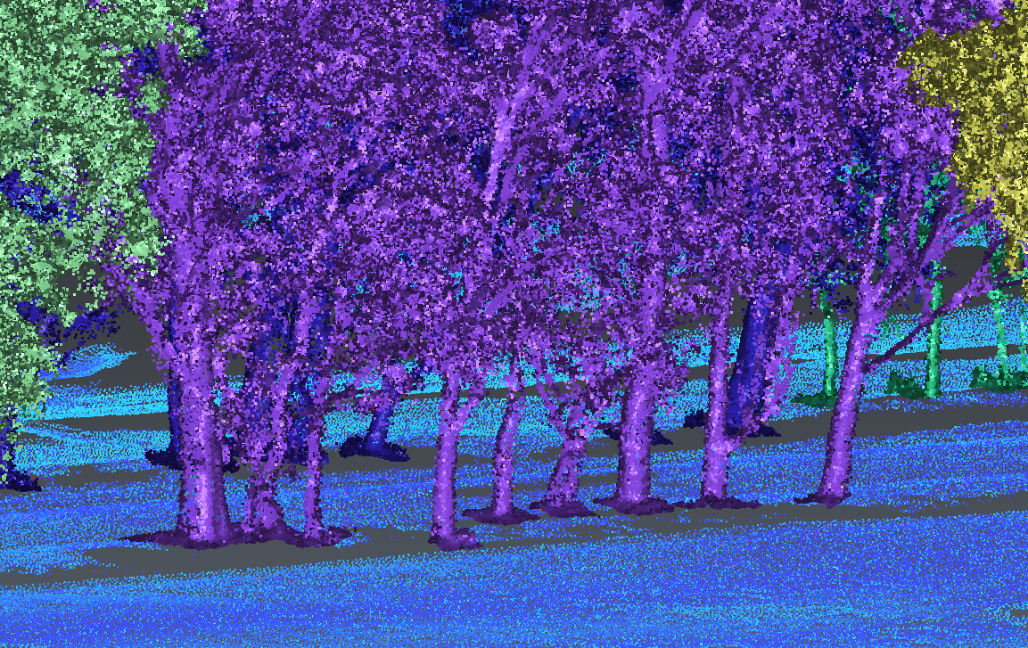
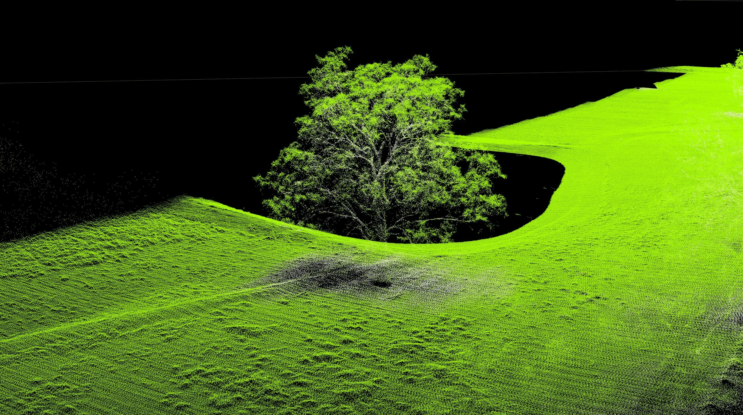
Drone-captured orthophotos, DTMs, Canopy Height Models and LiDAR point clouds give you that data, at a resolution and accuracy that satellite imagery simply cannot match. Whether you're planning infrastructure, assessing a paddock, or establishing a carbon project, we deliver the spatial evidence your decisions require.
Precision agriculture
Terrain and drainage modelling
LiDAR-derived DTMs show you the true surface of your land — slopes, drainage paths, waterlogging risk, and runoff behaviour. Essential for irrigation planning, dam placement, and understanding why parts of your paddock underperform.
Property and paddock mapping
Accurate orthophotos for property-wide mapping — fence lines, water points, access tracks, paddock boundaries, infrastructure. Delivered georeferenced so you can measure directly, plan and optimise every square metre of valuable land.
Crop and pasture assessment
High-resolution orthophotos capture visible indicators of crop stress, bare patches, waterlogged areas, and weed pressure across entire paddocks in a single flight. Identify problem areas early and direct management where it's needed.
Carbon farming & ACCU projects
Spatial baselines for carbon projects
Australia's Carbon Farming Initiative requires project proponents to use geospatial mapping — including high-resolution aerial imagery and LiDAR — to precisely define project boundaries and carbon estimation areas, and to document baseline vegetation conditions.
Our georeferenced orthophotos and LiDAR data satisfy the Clean Energy Regulator's mapping requirements and provide the spatial evidence your methodology demands. We deliver in formats compatible with the CFI Mapping Guidelines.
Annual change capture
Carbon projects require ongoing monitoring of vegetation extent and condition. We fly repeatable annual captures on your project area, giving you spatially comparable imagery to document regeneration progress and support your audit and reporting obligations.
Project boundary verification
Precise boundary definition and carbon estimation area (CEA) mapping — delivered as georeferenced shapefiles or GIS layers suitable for submission to the Clean Energy Regulator.
Who we work with
Broadacre and mixed farming operations
Agronomists and farm consultants
Carbon project developers and proponents
Land managers considering or registered under the ACCU scheme
Irrigation scheme operators
Property developers and rural valuers