
What Spatial Awareness services do you need?
Above Ground Services
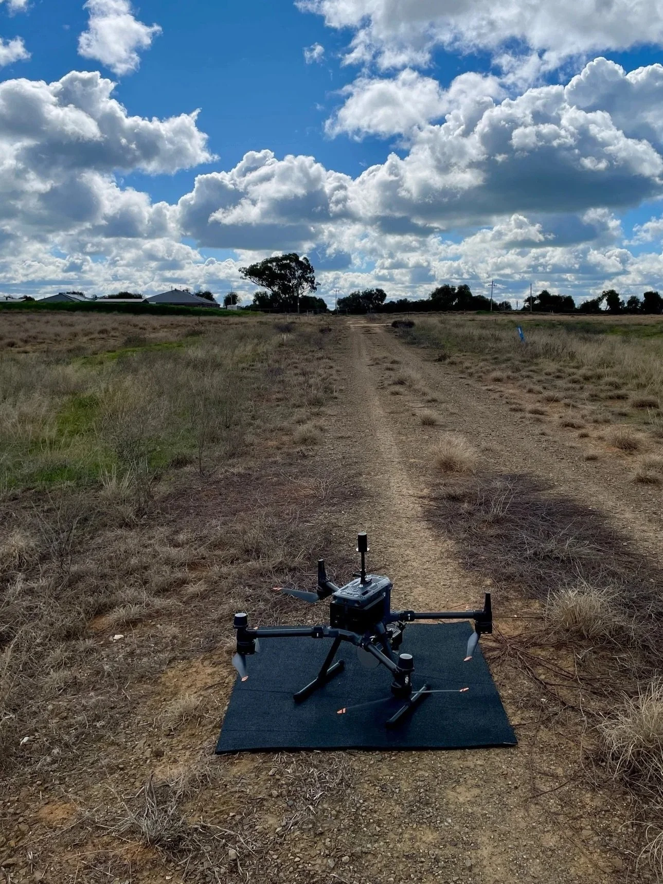
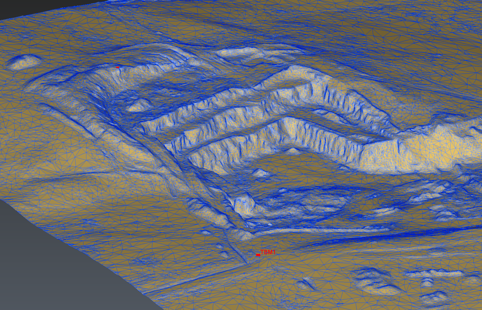
Aerial LIDAR Surveys
We specialise in high precision Drone Aerial LIDAR Surveys, suitable for all Surveying, Utilities, Forestry and GIS applications. Backed by our experience and qualifications in Surveying, we deliver classified point clouds, verified DTM meshes and 3D contours you can rely on for your important project.
Need boundaries and easements? No problem! We work with Registered and Licenced Surveyors.
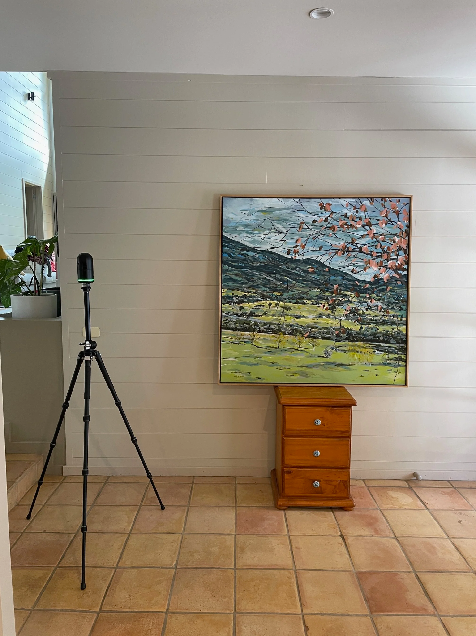

Terrestrial 3D Laser Scanning
Capture your site completely, gathering every possible 3D measurement in one site visit. No more incomplete measure-ups! Virtually visit the site at any time from your office, using Reality Capture services. Perfect for the Architect or Designer who needs comprehensive as-built information on which to base their project.
Below Ground Services
Service Locating
There are two ways to locate pipes and cables underground; the smart way and the very, very expensive way! Get assets located before works commence and enable safe excavation, boring, cutting, coring, trenching, fencing, etc.
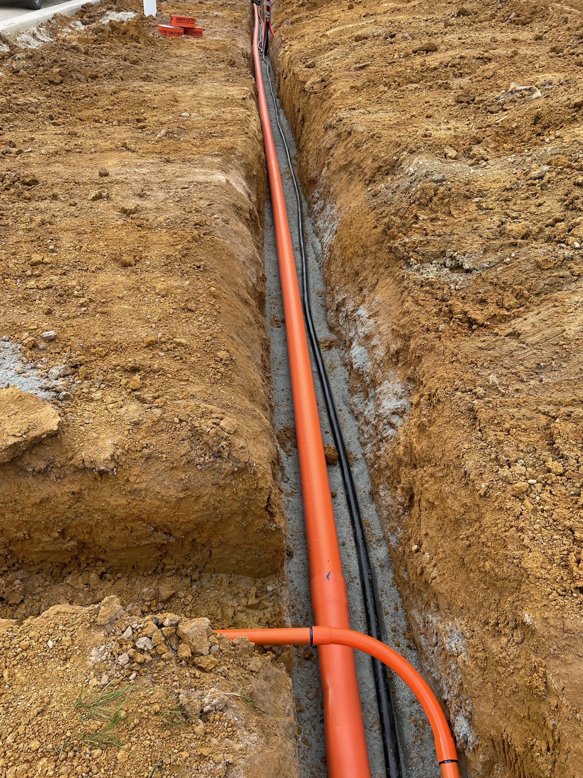
Utility Surveys
The accurate location of underground utilities is vitally important for safety, and a smooth and efficient design process. Many traditional Feature and Level Surveys don’t show in-ground services and BYDA records contain no spatial accuracy at all.
Protect your project by at least aiming to achieve QL-B with electronic locating techniques and QL-A by potholing at those located utilities using non-destructive digging methods.
Don’t neglect this critical part of your survey just because you can’t see what’s in the ground.
We connect to existing Survey Control and deliver data in the same coordinate system, so everyone is on the same page and design can be seamless - above and below ground.
Why Use Spatial Awareness?
Surveying Expertise. 3D Laser Scanning is an application of Surveying. We use traditional surveying techniques to ensure you can trust and rely on the data we provide.
24/7 Service for NSW and VIC. Eliminate all business and staff disruption with our after-hours service.
Tailored Solutions. Every 3D Laser Scanner excels in different applications. We understand the advantages and limitations of the various scanners and technologies and we tailor our approach to offer you the most efficient and cost-effective service for your needs.