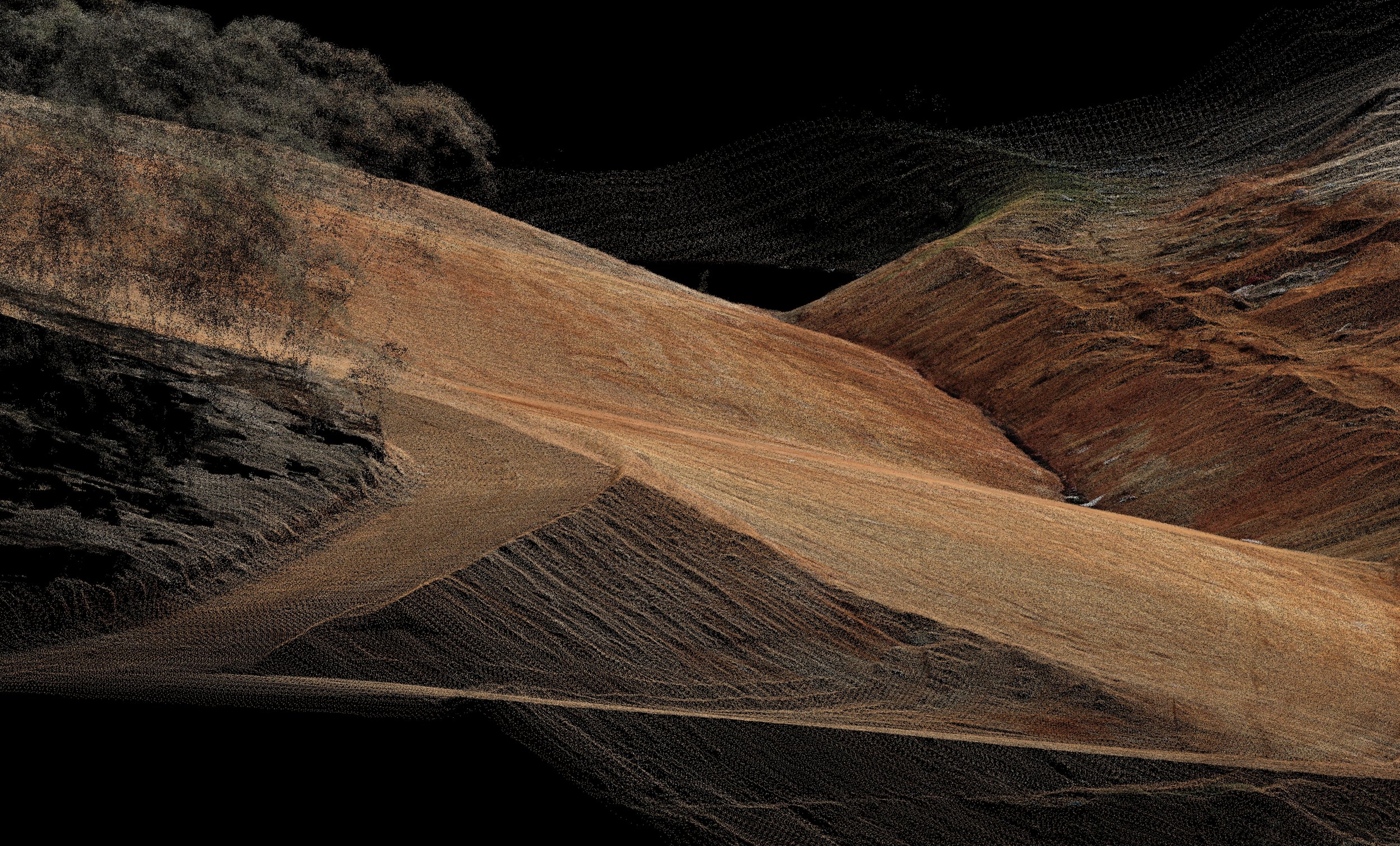
See Your Site ClearlyReliable, survey-grade aerial LiDAR that captures your entire site with complete confidence. Capture Everything. Book Now Precision Aerial LIDAR Terrestrial Laser Scanning Aerial Survey and Mapping Stockpile Volumes Drone Exterior Asset Inspections Photogrammetry, Digital Twins & 3D Models Subscribe to our newsletter. Sign up with your email address to receive news and updates. First Name Last Name Email Address Sign Up Thank you!